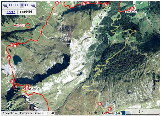
Interactive
Map: map.search.ch/d/tu0mzkynt
GPS-route: GPS_Data/GPX-Stoeck-Aelggi-Frutt.zip
This
is not an "easy" Tour.
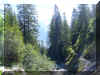
 From the Cable car Station we follow the Bitumen road to the first Bend. A
track turns off to the right and leads into the woods and towards the
rocky slopes. After another 400 m the track splits: straight on the track
would cross the river Innenbach and ascend by Chlisterli (a Chapel,
a house and a stable).
From the Cable car Station we follow the Bitumen road to the first Bend. A
track turns off to the right and leads into the woods and towards the
rocky slopes. After another 400 m the track splits: straight on the track
would cross the river Innenbach and ascend by Chlisterli (a Chapel,
a house and a stable).
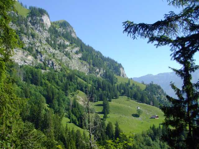
I chose the more direct track by Stepfen. It's pretty steep and in some
places stairs are provided.
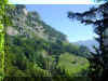
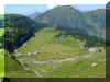
 At Stepfen we're suddenly on a green area with sheep feeding on lush grass
and herbs. The track continues more or less flat until the merger with the
track coming up from Chlisterli. But first, the river has to be crossed,
there is no bridge.
At Stepfen we're suddenly on a green area with sheep feeding on lush grass
and herbs. The track continues more or less flat until the merger with the
track coming up from Chlisterli. But first, the river has to be crossed,
there is no bridge.
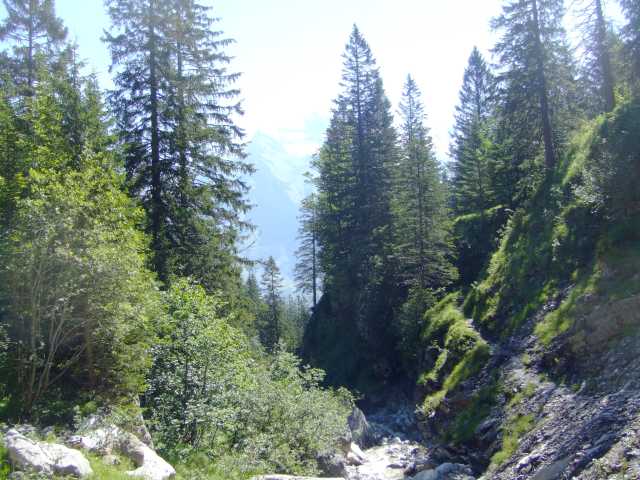
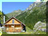
 The track is now steeper again and follows the river Innenbach, which has to be
cross again at some places, because part of the old track has been swept
away. The final climb is up to the Alp hut Innenbach. The board advertises Alp cheese
and "Bratchaes", a specialty in Ob/Nidwalden, similarly to the
Valais "Raclette".
The track is now steeper again and follows the river Innenbach, which has to be
cross again at some places, because part of the old track has been swept
away. The final climb is up to the Alp hut Innenbach. The board advertises Alp cheese
and "Bratchaes", a specialty in Ob/Nidwalden, similarly to the
Valais "Raclette".
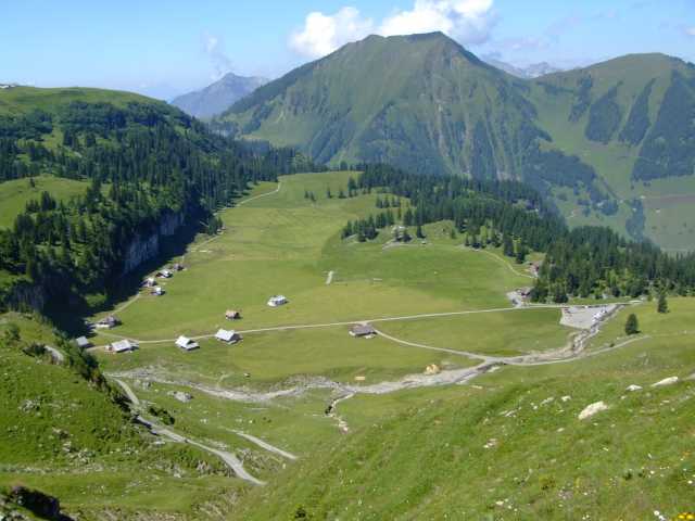
 For a detour to the exact geometric
Center
of Switzerland a gravel road passes the parking lot and the
Hotel/Restaurant. The Centre point is some 300 m from the
Restaurant.
For a detour to the exact geometric
Center
of Switzerland a gravel road passes the parking lot and the
Hotel/Restaurant. The Centre point is some 300 m from the
Restaurant.
More Info's at: www.aelggialp.ch/
The
way to the "Sachsler Seefeld" follows some alpine roads and
crosses part of the plain with the little Lake. - A picturesque spot for
having a bite and a drink.
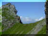 The next part up to that Rim, that can be
seen from the lake is steep again. First the track crosses the rock rubble,
then the path finally reaches the Rim Chringengraetli adjoining
Seefeldstock. What a View!
The next part up to that Rim, that can be
seen from the lake is steep again. First the track crosses the rock rubble,
then the path finally reaches the Rim Chringengraetli adjoining
Seefeldstock. What a View!
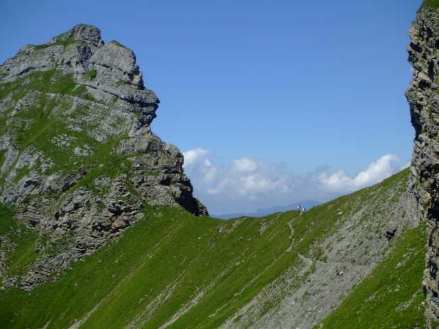
Looking now for the continuation of the
track, 0ne can only see a short part of a small path, then it disappears.
Actually, the track cuts 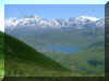 through a narrow cut in the rock. In some places
ropes and iron grips are provided. The track is in excellent condition.
through a narrow cut in the rock. In some places
ropes and iron grips are provided. The track is in excellent condition.
Finally,
with some heavier Pulse the grassy outcrop on Abgschuetz is reached. A unsurpassable
vista is the reward of all the hardship.
The way down by little Blausee
is obvious and the little alpine village of Melchsee Frutt can be reached
in an hour.