Reussspitz
Map: Wanderkarte Zugerland 1:25000
This protected area lies in a triangle between the rivers Lorze (From
Zugersee) and Reuss (from Vierwaldstaettersee).
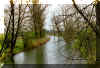 |
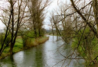
River Lorze |
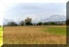 |
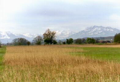
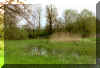
Marsh landscape with Pilatus in the background |
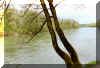 |
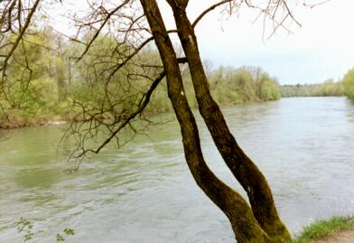
River Reuss |
 |
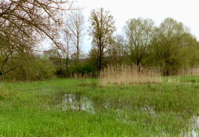
Edge of woods |
An interesting way for getting there is certainly by Bicycle
which is provided for free.
Choose a route away from the main roads and include
"Frauental" and the Monastery (nunnery). The monastery shop
there is open weekdays afternoon. The monastery is idyllically situated on
an island in the river Lorze.
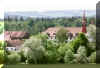 |
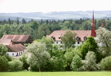
Frauental monastery |
Passing leisurely the meadows and fields you'll see quite a few pretty
hamlets and farms and every now and then the chain of the alps will catch
your eye.
| Reussspitz |
km |
hrs |
Zug - Rotkreuz - Muehlau (SBB)
then across the Reuss and along the river |
+2 |
+0.5 |
or Zug - Mettmenstetten (SBB) - Maschwanden (Bus)
Walk Mettmenstetten - Maschwanden - Reussspitz |
+4 |
+1 |
or Zug - Cham - Rumentikon (Bus 42 or 51),
then walk by Frauental - Stadelmatt - Muehlau |
+5 |
+1.2 |
or Zug - Cham - Zollhaus, Reuss bridge (Bus 7),
then walk along the Reuss by Muehlau |
+6 |
+1.5 |
private car:
Parking at the Lorzen-bridge before Maschwanden |
|
|
Roundtrip
e.g. Parking - Reussdamm - Spitz - Parking |
5 |
1.5 |
The walk as mentioned above sticks to the area inside the
protected zone. The walk can be extended seamless
Recommended is the route from Mettmenstetten with the impressive
panorama of the alpine chain to the left.
Walks along the river Reuss are worthwhile too:
Muehlau - Sins ca. 5 km
Muehlau - Sins (Zollhaus) - Luzern ca. 30 km
Muehlau - Bremgarten ca. 20 km.
Bremgarten, a pretty old small town with a remarkable old wooden bridge
is a recommended visit
|